Two nights. 21 miles. 5 summits. Mt. Katahdin has some stiff competition for the title of best hike in New England.
There are a few route options for hitting all the Bonds, but the most common are starting from either the Zealand Trail parking area or the Lincoln Woods trail head and doing an out-and-back. There is also the option of doing a two-car traverse from either trail head. We chose the Zealand Trail out-and-back option mostly because it was the slightly shorter of the two. We had every intention of making it to the trail head before dark, but with Friday summer traffic and the requisite pre-hike burrito stop, we pulled into the parking lot at 9 PM. The original plan was to find a place to camp off the trail within the first mile or so in order to avoid hiking too much in the pitch darkness, but with headlamps and flashlights, hiking at night was surprisingly not bad at all. Sure there were times when we expected to get mauled by a bear or trampled by a moose when we crossed over the swamps and ponds , but overall, night-hiking was a pleasant experience. We ended up hiking three miles in the dark before posting up for the night just beyond the Zealand Falls Hut.
Saturday began with a steep climb to the top of Mt. Zealand. Much like East Osceola, Mt. Zealand is as forgettable as they come. If it weren’t one of the 48 recognized 4,000 footers in NH it might not even be worth the 0.10 mile spur to get to the summit. It wasn’t long, however, before we breached the treeline en route to the second peak, Mt. Guyot. Despite being 4,580 feet, Mt. Guyot is not recognized as one of New Hampshire’s 4,000 footers because it is just shy of having 200 vertical feet separating it from adjacent 4,000 footers. This is hugely disappointing since the 360 degree views from the Guyot summit were phenomenal. If there is a petition out there to kick Zealand out of the 4,000 club and replace it with Guyot, I will sign in a heartbeat…rules of geology be damned.
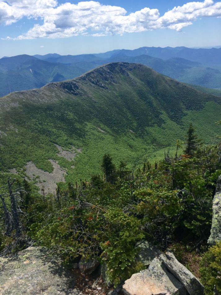
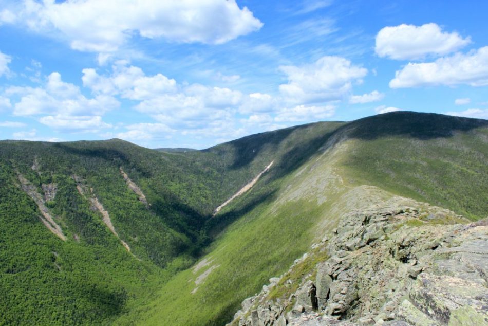
From the Guyot summit, we hiked down into the Pemigewasset Wilderness before coming to the West Bond Spur. From here it was another 0.5 miles to get to the West Bond Summit, where we got our first view of Bondcliff and the ridge connecting it to Mt. Bond.
The hike from West Bond to Mt. Bond wasn’t too difficult, but the hike across the ridge to Bondcliff felt like an eternity. By this point we were exhausted, our packs were heavy, and it was in the mid 80’s. Hurling ourselves off the edge of the ridge was starting to sound like an attractive alternative to hiking another 4 miles, but we resisted the temptation and were rewarded when we finally arrived at Bondcliff.
After backtracking over Mt. Bond and refilling our water bottles at Guyot campsite, we finally found the perfect camping spot off the trail near Mt. Zealand. It was on the AT, so presumably it was been used by numerous through hikers over the years, given that it was tailor made for camping. Beans and brats and a solid 10 hours of sleep was a well-earned reward for a full day of hiking.
The 5 miles we hiked on Sunday were mostly flat or downhill, with the exception of the first mile or so where we hiked straight up the backside of Mt. Zealand. We took a short break for a swim in the brook just before Zealand Falls, but other than that we booked it back to the parking lot. This was the first time we had seen this section of the trail during the daytime. Overall amazing hike and good opportunity to check 4 of the 4,000 footers off the list in one weekend.






Leave a Reply