As of last count,there are over 600 public parks within the Los Angeles city limits – ranging from tiny green spaces to larger parks tucked away in the Hollywood Hills. We continue to explore the city’s public park terrain and will update this page as time permits.
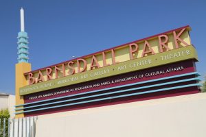
Barnsdall Park is located right off Hollywood Blvd in East Hollywood (about 2 miles East of the 101 Freeway) on top of a hill (“Olive Hill”) which affords one superb views of much of Los Angeles on a clear day including Griffith Observatory, downtown and the Hollywood sign. Olive Hill sits in the middle of Barnsdall Park, named after Aline Barnsdall, an oil heiress who when she moved to Los Angeles hired Frank Lloyd Wright to design her new home. Aline had a passion for art and her intent was to turn this hill into an artist community.
Ultimately Hollyhock house and two small residences were built. This was Frank Wright’s first project in Los Angeles and he tried to incorporate southern California’s dry mild climate into the design. As a result the home features ample outdoor space as well as gardens. Today several benches sit in the lawn over looking the Los Angeles basin and can be a great place to enjoy a sandwich on a clear warm day.
Olive Hill is central to a visit here because of its height and prime location within Los Angeles – but the home is equally as important as are the theater, galleries and studios on site. Aline would have been proud to see how far her “little hill” has come. A stop here is a respite from all the traffic and congestion that plagues this part of Los Angeles.
Tours of the home are only available at select times from Friday through Sunday – ticket sales on site open up 30 minutes before each tour. No photography is allowed in side.
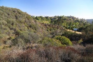
Beverly Glen Park is a classic example of several sizable ‘public’ parks in the Hollywood Hills in which the public has little or no access to. When one spots this park on the map, one is intrigued both by its size and by its highly appealing name. But don’t expect any hiking trails or anyway to access this park, other then just a brief walk into its exterior.
One can reach this park off of Angelo Drive (for reference, the closest large street is N. Beverly Glen Boulevard). Don’t trust Google Maps or other mapping services to find this park – the address these mapping services provide is generally a dot in the middle of the park, an unreachable destination due to absolutely no trails or roads within the park.
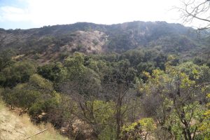
The only access to the park is where a tiny section of Angelo Drive touches the edge of the park, next to a large city water supply tank. Residential homes line the other side of the street. One can wander outside of the fence (within the Beverly Glen Park borders) that circles this water tank for some chaparral hillside covered vistas to the south. But the hillsides are so bushy and there are no trails at all, that one will not get very far in this park.
If one drives all the way to the end of Angelo Drive one finds a sign for Bel Air Park – during our visits this gate has always been locked – as this park is private and only available for local residents (and technically Bel Air Park is outside the confines of Beverly Glen Park) – although presumably if one is able to access Bel Air Park, one could theoretically enter Beverly Glen Park.
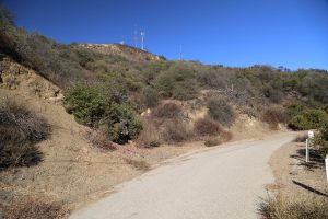
Briar Summit Open Space Preserve is located on Briar Summit Drive in the Hollywood Hills – one can drive as far as the locked gate which is located just past the end the homes in this residential neighborhood. One must park curbside near the gate and then walk up the paved road towards the antennas on the top of the ridge (about a mile one way to the top).
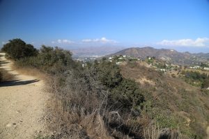
There are no perceptible trails in the rugged brush lined slopes of this 52-acre open space other then a few short dirt trails that lead to lookouts off of the paved road. Nice views as one ascends the final leg of the paved road. Not a popular hike and you most assuredly will be the only one up here!
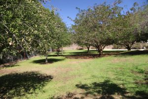
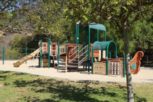
Briarwood Park is located in the Hollywood Hills off of N. Beverly Glen Blvd, just down from Mulholland Drive. Well-hidden, this tiny park features an upper section (small children’s playground with a grassy area) and a lower section accessed via a steep tree lined path which features a flat grassy and tree section and an adjoining basketball court (not lighted at night).
Located at the end of Almaden Court in a residential neighborhood – parking is curbside next to the gated entrance (open during the day). Often mothers or perhaps more common considering the neighborhood, nannies toting toddlers will be seen in the park.
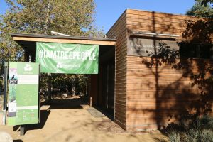
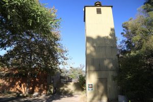
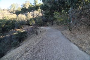
Coldwater Canyon Park, *not* to be confused with the park of the same name in Beverly Hills is located in the Hollywood Hills and his home of the headquarters of Tree People, an organization dedicated to the planting and preservation of trees. Tree People was founded in 1974 on this same site when founder Andy Lipkis spotted the old fire station on site (dating from sometime in the 1920s). The trails and fire roads were built by the crews that would man the fire station. The nursery had been abandoned but Andy got permission from the city of Los Angeles to use the nursery and the seeds for Tree People were sown. And the tower that was used by the fire station still stands next to the nursery.
Located at one of the most confusing intersections in this part of Los Angeles – where Coldwater Canyon Ave, Mulholland Drive and Franklin Canyon Road come together. Plenty of parking in the Tree People’s parking lot (a very Subaru friendly parking lot we might add). And from here one can walk through the Tree People’s grounds to reach some of the hiking in this 45-acre park.
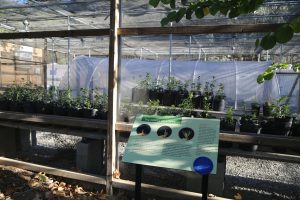
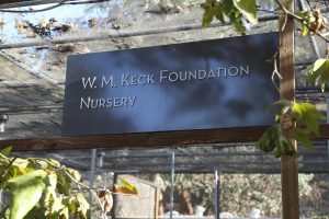
The park is open 630am until sunset most every day of the year. Also home to the WM Keck Foundation Nursery – where lots of plants are cared for (bathrooms are on site next to the nursery). Visitors can access the park on their own – although note that the Tree People host a number of educational events and tours throughout the year including the Native Plant Walk.
Deervale-Stone Canyon Park is an 80-acre park located in the Hollywood Hills with the best access trail located in a residential sub division at the end of Deervale Place. Parking is a bit tight with no parking right at the end of the road – but rather curbside within a short distance of the hiking trail (basically the only primary hiking trail in the park).
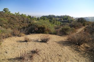
The start of the trail technically runs through a tiny slice of private property (visitors should remain on the trail in this section) before leading out onto a ridge offering excellent views of Sherman Oaks and other part of the San Fernando Valley. This is an out and back hike because the ‘end’ of the trail ends at a private driveway and chain link fence.
The trail meanders in a downward direction – so your return trip will be mostly uphill. It is nice to have access to this open space in a part of the Hollywood Hills surrounded by residential communities (although note that the scenery here is not the most picturesque).
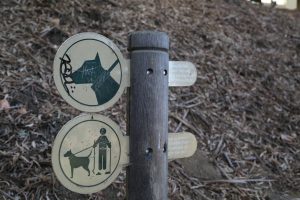
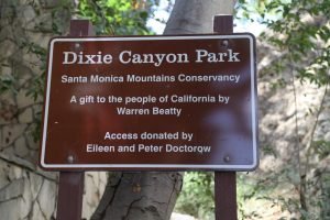
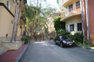
Dixie Canyon Park was formerly owned by Actor Warren Beatty – in the 1980s he donated this 20-acre slice of canyon land to the city of Los Angeles (to prevent condominium and home development) and today it serves as an undeveloped neighborhood park. Access is at the end of Dixie Canyon Place a residential neighborhood. Very limited parking is all curbside next to the trailhead.
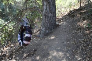
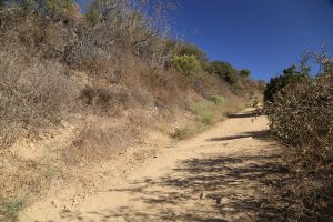
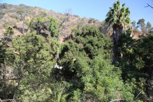
The main trail leads to several short side trails (often overgrown) which meander up the canyon and or up the canyon slopes. The trail roughly follows a tiny creek (which often has a bit of water in it in the late summer). One trail heads up to a rope swing. Another trail leads up the slopes before ending in the brush.
This park also connects to the larger Longridge Park. Sometimes popular with local residents who come here to walk their dogs. Or with local children. Seems worlds away from the often busy and nearby Ventura Boulevard.
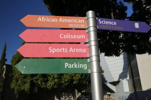
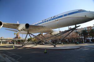
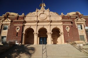
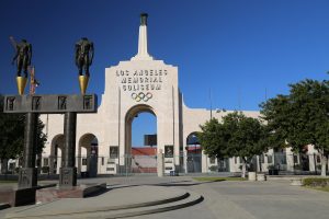
Exposition Park is located across from USC and is one of LA’s cultural hubs. This park is located off of the 110 freeway – well marked signs on the 110 indicate which exit to take. The Natural History Museum, California Science Center including the Air & Space building, the LA Coliseum (home to the 1932 and 1984 summer Olympics), the sunken rose garden, the African American Museum and other outdoor attractions are located here.
Admission to the Rose Garden, the African American Museum and the Air & Space building are free. Exposition Park has its own paid parking garage on Exposition Park Drive (off of South Figueroa) although you can, if very lucky, find a parking spot along parts of both sides of Exposition Blvd directly across from USC and walk into the park through the sunken Rose garden. Hundreds of various roses are planted in this garden and its a relaxing place to either sit down or walk through. A new parking garage is now open right next to the Natural History Museum (accessible off of Exposition Blvd). The Metro’s Exposition line runs right by USC and Exposition Park and you can easily walk from the nearest stop across Exposition Blvd to the entrance to Exposition Park. View our more in depth review of Exposition Park here.
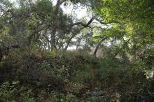
Fossil Ridge Park is yet another Hollywood Hills park with very difficult and limited access. Supposedly the best access is via the gated private residential Mulholland Estates community (with their aggressive security guards, based on personal prior experience with these bozos). One must tell them they want to visit Fossil Ridge Park and supposedly they will let you in because by law they are required to let in visitors who want to see the park.
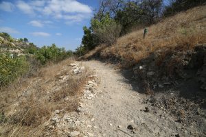
Not wanting to deal with the hassles of having to enter the park this way – we found another point of access (albeit quite difficult). On Camino de la Cumbre, there is a short section of road that almost borders the western part of the part of the park (about half a mile before reaching The Buckley School). There is a dirt pullout which easily fits a car. Crossing the road one must descend a steep dirt and rock embankment down to the tiny creek below. Once you reach the creek you are technically within the park’s boundary – and then one must wade through some sharp thorned chaparral and poison oak to reach a short hiking trail on the other side of the creek (presumably used by students at the school).
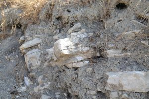
The park is 110 acres, much of it covered in chaparral and various woodland scrub. It dates from 1991 and is named after the numerous fossilized marine animals contained in sedimentary rocks within its boundaries.
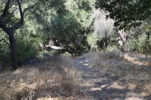
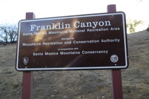
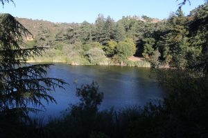
Franklin Canyon Park is one of the largest parks in Los Angeles; located in the Hollywood Hills the park encompasses 605 acres. Named after the canyon this park features a 3 acre pond, a reservoir and 5 miles of hiking trails including the most popular trails, Discovery, Berman, and Hastain. Compared to a number of other Hollywood Hills parks which are not setup for public access, this park is easily accessible. Several paved road entrances are available from both the north and south parts of the park including via Franklin Canyon Drive off of Mulholland Drive.
Notable as being the geographic center of Los Angeles city limits. Also a long history of filming movies on site (along with numerous TV shows). The park also features a very aggressive and stupid stop sign camera monitoring program with those who run the stop signs fined significant amounts.
Fryman Canyon Park is easily accessed from the Nancy Pohl Overlook (8401 Mulholland Drive). Pull of Mulholland and park in the sizable parking lot (40 spots). Take a moment to admire the views looking north down into the San Fernando Valley and the rugged surrounding terrain of the steep hillsides below the overlook. Named after Nancy Hoover Pohl, a lady who dedicated her life to fighting development in the Santa Monica Mountains and was instrumental in creating Fryman Canyon Park as well as several other nearby parks.
The primary trail through this 122-acre park is the Betty B Dearing Trail. The trailhead begins near the overlook and also connects to Wilacre Park, Franklin Park and Coldwater Canyon Park. Lots of chaparral and steep canyons. Note that mountain bikes are not allowed on the trails within the park.
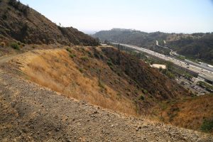
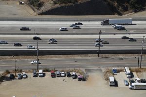
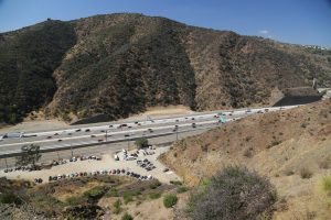
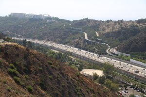
Getty View Park is appropriately named although perhaps an even better name for this park would be, The 405 View Park. Freeway enthusiasts should take note of this park – there are excellent views looking directly down onto “the monster” with its 10 lanes of traffic (usually stopped in both directions) plus another 4 lanes of traffic on the parallel N. Sepulveda Boulevard. And one can easily look south west onto the great Getty Center perched on top of a hill on the other side of the 405 freeway. And depending on the clarity of the air, one can see much further south past Los Angeles and out to Catalina Island.
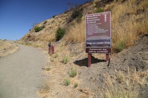
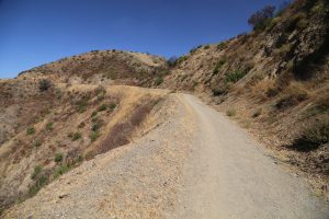
Located at the end of Casiano Road – one drives through a residential sub division to reach the ‘trailhead’. Parking is curbside at the end of the street – and access to the park is via a paved fire road which starts in the park but then runs for a short while outside the park boundaries before reentering the park. A moderate incline greets hikers initially before eventually leveling out somewhat. This paved road ultimately leads to the actual trailhead of the Getty View Trail. Not a popular park, always been fairly empty during our select visits. Great for walking dogs. Bring a hat or umbrella – with the lack of trees there is no shade along the hike.
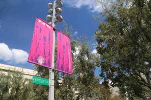
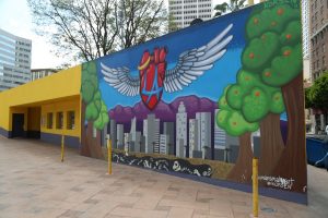
Grand Park (formerly Civic Center Park) is located directly to the north of Los Angeles City Hall, in downtown Los Angeles and originally opened in 2012. This 12-acre park provides a pleasant green-way, connecting Bunker Hill, City Hall and the Civic Center. The red line and purple line metro stop Civic Center/Grand Park Station is located roughly in the center of the park. A parking lot is located roughly in the middle of the park.
Grand Park offers a wonderful mostly quiet space to relax with a number of benches, trees and bushes and all around great views of City Hall, which while no longer even close to being the tallest building still creates an impressive backdrop to the south.
The park is one a hill with a paved path connecting both ends. Public (no charge) bathrooms are on site – still in generally very good shape compared to public bathrooms at a number of Los Angeles’s older parks. Also a small cafe is located next to the bathrooms. One of of the highlights of the park is the Arthur J. Will Memorial Fountain (with its shallow membrane pool/splash pad in front for people to walk on barefoot), placed in honor of the chief administrative officer for the County of Los Angeles in the 1950s, and the Court of Historic American Flags, a small section of the park with plaques in front of flagpoles flying historic flags.
The park has been the site of a number of concerts, political rallies, film shoots and hosts other select events including the annual New Years Eve celebration. Open daily from 530am until10pm. You know a park is in a special category when they have their own website! For more information, visit: www.grandparkla.org
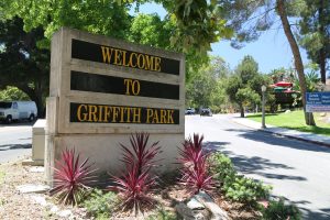
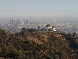
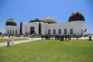
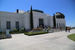
Griffith Park is located just north of the 101 right next to Hollywood. It sits on the sides of Mt. Hollywood; you follow a winding road up the to top accessible via Los Feliz (a boulevard that roughly connects between the 5 and the 101 freeways). The park contains the iconic Griffith Observatory, a popular Los Angeles landmark which first opened to the public in 1935 – its white exterior with blue dome can be seen from afar on clear days. The land for this site was donated by a man so nice they named him twice; Griffith J. Griffith also left the money for the Greek Theatre and Griffith Observatory to be built (but if you dig a little bit deeper you will discover he shot his wife in the head while in Santa Monica and ended up spending some time in San Quentin prison).
The Observatory recently underwent extensive interior renovation in the early part of the century and reopened to the public in November of 2006. For a while, demand was such that you could not drive a private vehicle up to the observatory and reserve shuttles or walking were the only ways to visit. However, demand has somewhat eased and cars are once again allowed to drive all the way to the observatory (although this parking lot fills up fast and often cars are not allowed to enter when it is full).
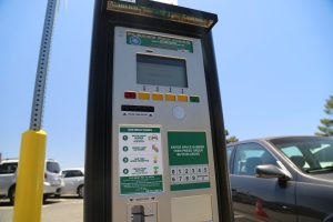
Our favorite entrance is via North Vermont Street off of the large Los Feliz Blvd. There are many parking spots near the famous Greek Theatre but to hike from this area to the top would take about 35-45 minutes all uphill. There is a parking lot right next to the observatory which will be closed off sporadically on busy days such as weekends. If its closed off, there is parking down further on the main road. Parking at the lot next to the observatory is metered – at last update was $4/hour using ticket machines to pay with either coins or credit card – which produces a parking receipt that you then place on your dashboard. NOTE: you must note the space number of your parking spot before walking to the ticket machines (as you will be asked for this before it prints out your ticket).
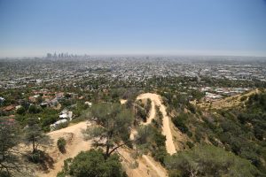
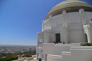
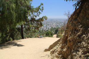
The general public can enter the Observatory and view all of its exhibits without having reservations or paying any fees. There are excellent views of the Los Angeles Basin on clear days, and the Hollywood Hills (including the Hollywood Sign) from the side of North Vermont and East Observatory Roads. See our photos below for what is possible to see on a clear day!! On a clear day you can stand on the outside promenade on the second floor and pick out many landmarks all across the valley – all the way down to the tall buildings of Long Beach way in the distance.
Mt. Hollywood Hike
Directly to the north of the main parking lot in front of Griffith Observatory is a wide trail (Charlie Turner Trailhead) that leads up the hillside. The small pine tree at the entrance is dedicated to deceased “beatle” George Harrison (died in Los Angeles). From the trail-head it is a 1.5 mile nearly all uphill climb to the top of Mt. Hollywood. From the top on a clear day (especially after some rain) there are exceptional views of much of the Los Angeles basin, downtown and the rugged Hollywood Hills.
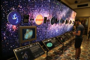
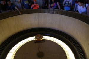
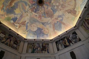
Tickets to the Planetarium are purchased on a first come first served basis. There is a free 24 minute film that shows several times a day in the Leonard Nimoy Theatre and covers information about the history and the recent renovation. Public telescopes are available for free in the evenings (7pm to 10pm). Be sure to pick up a free brochure on the 1st level – this explains basic history, hours, and includes a detailed map of the property. A Cafe and gift shop are located on site. There are three main levels of the observatory – the lower level contains several excellent constellation exhibits. The mid level also has exhibits and information about the observatory. The top floor is an excellent location to look out over the entire Los Angeles basin area and there is also a high powered telescope room.
Visit www.griffithobs.org for information about Griffith Observatory.
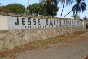
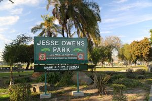
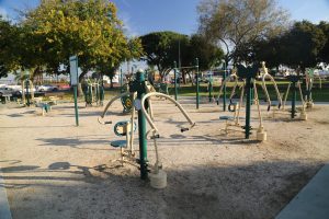
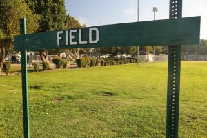
Jesse Owens Park (formerly called Sportsman Park) is located in the Westmont neighborhood about a 15-20 minute drive from LAX bordered by Century Blvd and S Western Ave (address 9651 S. Western Ave). Named after prominent African American track and field icon Jesse Owens (who earned four gold medals in the 1936 Olympic games). The park features a sizable baseball field, a soccer field, tennis courts and a fenced off children’s playground. A number of benches are located on site.
A highlight for water enthusiasts is the Jesse Owns Pool facility – located across the street from the park and is popular with families. Only one of two indoor public heated pools in all of South Los Angeles. Also offers a number of swimming classes here. The park is 20 acres and is located next to a 9-hole golf course. Parking is curbside along Century Blvd or with plenty of free parking within the park itself across from the children’s playground.
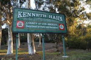
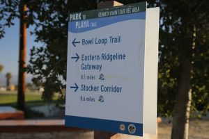
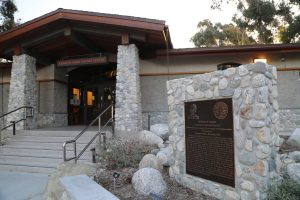
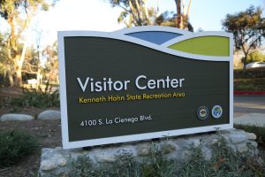
Kenneth Hahn State Recreation Area is located at 4100 S La Cienega Blvd (Cienega Blvd in this part of Los Angeles is more like a parkway – with high speed traffic common). This is one of the great parks within Los Angeles – established in 1984 it encompasses slightly more then 400 acres. With so much space there is a lot to do for those with varied interests. The park is named after Los Angeles County Supervisor Kenneth Hahn – who was also the father of major James Hahn. The park is managed by Los Angeles County Department of Parks and Recreation and you will often see their trucks parked or driving through the park.
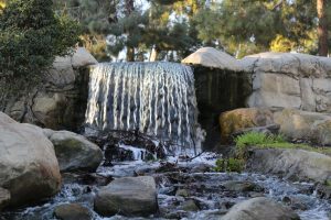
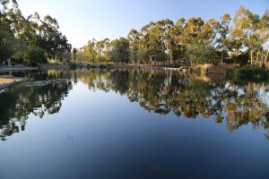
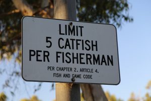
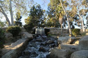
Pull into the park and pay the admission fee (as of our last update, this is only charged on the weekends) – soon you are surrounded by many parking spaces offering one choices of where to go and what to do. Into fishing? Check out the man-made Gwen Moore Lake located near the entrance. Popular with anglers – the limit for catfish is 5 per person. Head a bit deeper into the park and you will soon spot a ‘river’ and a waterfall on your right hand side. Close your eyes and you might think you are next to a natural creek babbling in the Sierra Nevada Mountains.
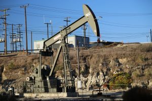
See the ‘bobbing donkeys’? These are part of the great Inglewood Oil Field and are still pumping out oil day and night. Before the park road begins to climb you will spot the Visitor Center on your right hand side. Pull into the parking lot and dash inside for a dose of local park information about trails, regulations and park activities.
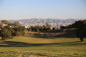
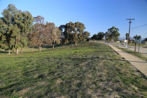
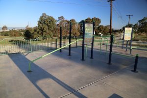
Continuing up the road to the top, one has great views in many directions of Los Angeles – on a clear day you can easily see the Hollywood sign to the north or downtown. Also an exercise park is located near part of this uppermost parking lot. The park features plenty of hiking trails including the 13-mile long Playa Trail which connects to a number of side trails. These shorter trails often provide excellent vistas of various parts of the city.
Other highlights include the Japanese Garden and the Olympic Forest – 140 trees planted to commemorate the site of what was the Olympic Village built for the 1932 Olympics. And on the weekends we have noticed parts of the park are extremely popular with families picnicking – the park contains more then 100 picnic tables and several playgrounds. For least amount of crowds come here mid week during early mornings.
Laurel Canyon Park is a small park located down a short driveway off of Mulholland Drive just west of the intersection of Mulholland Drive and Laurel Canyon Boulevard. No immediate stores nearby – as many residential communities are located on the surrounding rugged hillsides and canyons. As with much of this part of Mulholland Drive, traffic can be brutal in the mornings and the afternoons.
The driveway leads down to the flat section overlooking a canyon (the park is 3 acres). Plenty of parking is located next to the park’s entrance – with parking spots located around a circular space, one way in and one way out. Very popular with dog walkers – presumably local residents. The park is accessed via a gate – leading to a fenced in area generally used for smaller dogs. And a much larger fenced in area for the larger and more adventurous dogs. Bring the kiddies to – a small playground is also on site. And thank goodness, there are several porta potties.
Also note that the park is closed every Friday morning from 6 am until 11am for various maintenance. Not a lot of shade within the park itself – although there are some smaller trees on site.
Longridge Park is a sizable park that essentially is inaccessible to the public. It is truly unbelievable that a park of this size in the city limits of Los Angels has absolutely *nothing* about it online including photographs! One can access one side of the park via the end of Longridge Terrace Road – passing through a highly active mobile security guard patrolled residential neighborhood. Parking at the end of Longridge Terrace is curbside next to several homes with a dirt road leading up a hill for some glimpses to the north of the San Fernando Valley.
Rugged and chaparral hillsides without any trails leave this park as a visual only destination from afar. Perhaps one can access this park from Dixie Canyon Park (since both parks essentially touch each other) – we will attempt this the next time we drive up to Dixie Canyon Park. We have driven by two places where this park touches public roads (a tiny slice alongside Longridge Ave and along Mulholland Drive) and in both places access is via steep, and brush covered landscape – both are unrealistic entry points.
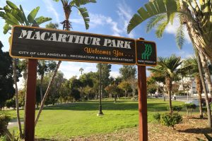
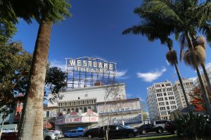
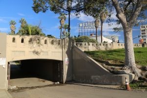
MacArthur Park is located in the Westlake neighborhood of Los Angeles (not far from downtown) and is named after General Douglas MacArthur. Used to be a swampy area with a dump on site. In a part of town with very few parks/green spaces. Not far from Koreatown. Originally dates from the 1880s and used to be called Westlake Park. The surrounding neighborhood is predominantly Hispanic; nearby streets include numerous street vendors and shops all crammed into tiny spaces (in years past known as a part of town where one could purchase fake ids – although these days this service has visually gone a bit more ‘underground’ in the area).
An unusual park in that it is completely divided by one of Los Angeles’s most prominent streets – Wilshire Boulevard. However, a walkway tunnel conveniently connects both parts of the park, running directly underneath Wilshire Blvd.
Located in one of Los Angeles’s most densely packed neighborhoods – this part of town used to be a luxury destination with numerous high end hotels. Today it can be best described as gritty. In the 1980s and 1990s site of numerous gang activities, violence, prostitution and drug dealings. Much safer today then during those decades although perhaps not a destination you want to visit late at night.
Still this is currently known as being a tough area. During several visits to the park we always see LA’s finest, the LAPD patrolling – driving back and forth through the tunnel connecting both parts of the park. Attracts a number of homeless and down and out folks. We’ve seen people urinating in broad daylight in the park, the bathroom stalls remind us of what we’ve seen in jail museums – during one visit we witnessed one guy who locked himself in a bathroom stall and began screaming. One never knows what one will see with a visit to this park.
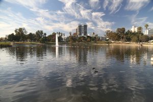
The spring fed lake used to be much larger – in fact Wilshire Boulevard ended at the park until it was eventually built through the park continuing into downtown and the northern part of the lake was drained. The lake is home to hundreds of seagulls who defecate all over the surrounding concrete and edges of the shoreline. Parking is one hour metered curbside on nearby streets. The Westlake/MacArthur metro stop is conveniently located across the street from the park on Alvarado Street.
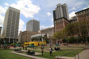
Pershing Square. Tiny in size but well-known throughout downtown Los Angeles, Pershing Square is only a block in size – it is located on top of a parking garage (built in the early 1950s) and next to the Red Line Metro stop of the same name. Because of its central downtown location, it is within easy walking distance of many of the attractions and or major hotels in this part of the city.
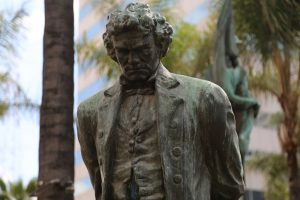
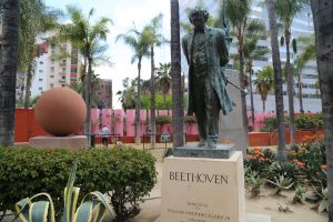
Over its history the park has had numerous names and was first dedicated as a park space in 1866. Following the end of the World War I, the park was renamed in honor of General John Pershing. A number of highlights located here include a statue of Beethoven in honor of the founder of the Los Angeles Philharmonic, a fenced off section for pets, two play areas for children plenty of open lawn space with seating and several works of arts including a prominent modern looking belltower, the Art Squared Gallery (featuring ongoing rotating works of art) and the oldest public art sculpture in the city, the Spanish American War Memorial.
The park is also used for a number of events including outdoor concerts, a weekly farmers’ market, an Easter egg hunt in the Spring and hosts a temporary ice skating rink in the winter months (of which sometimes the day time temperatures are in the 80s!).
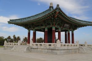
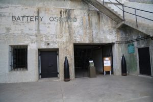
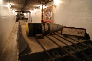
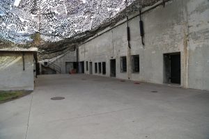
Point Fermin Park is 37 acres in San Pedro, the park contains a number of attractions for visitors including the Fort MacArthur Museum, the Korean Friendship Bell, the Point Fermin Lighthouse (built in 1874) and a playground for chidlren. Incidentally the southern part of this part is the southernmost point in all of Los Angeles. One can easily spend an hour or two here visiting the museum, the lighthouse and wandering the grounds.
The park takes its name from George Vancouver who first visited the site in 1793 – he named the park in homage to Father Fermin Francisco de Lasuen up at the mission in Carmel. On clear days one can easily see across the water to some of the Chanel Islands. And if you happen to be here between November and March you may see some Monarch butterflys overwintering in some of the trees.
Runyon Canyon Park is a 160-acre park in the Hollywood Hills, that unlike a number of other parks in this part of Los Angeles, is actually easily accessible to the public, and is one of the more popular parks in the region for hikers and others looking to have excellent views over looking Los Angeles. And also a popular park for dog walkers.
There are 5 main entrances to the park – our usual entrance is the North Canyon entrance off of Mulholland Drive where there is a short dirt parking lot that is setup as a one way entrance and exit (can fill up with cars very quickly). This is the only parking lot at any of the entrances – parking at the other trail-heads are all curbside on residential streets.
The park features dirt fire roads (off limits to vehicles) as well as numerous hiking trails including Indian Rock Trail which leads to the highest point in the park offering excellent views on clear days overlooking Los Angeles. Can be one of the most crowded parks due to its multiple and easy points of accessibility combined with numerous trails and expansive views at times.
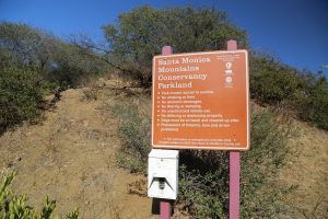
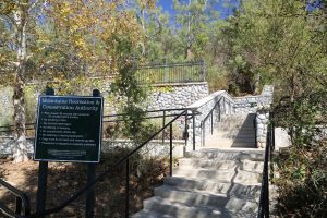
Vista Hermosa Natural Park, Mountains Recreation & Conservation Authority – a long name for a small park. Nestled into the hills just above downtown, this park is often highly overlooked for the much larger and more well-known parks in Los Angeles. Don’t make that mistake. Surrounded by residential neighborhoods this nearly 11 acre hillside park is full of natural vegetation, hiking trails and vistas which on a clear day are rather stunning.
One can be sitting on a bench staring straight at nearby downtown of the country’s second largest city and in the same instant whirl around 180 degrees and be on a dirt path staring into up into Mediterranean vegetation and hillside chaparral.
Remarkably packs quite a bit in considering its small space and proximity to the urban core of Los Angeles. Walking trails, a few creeks, a playground, a soccer field and an outdoor amphitheater in a grotto are all parts of the experience here. We have seen photo shoots in the park – Quinceañera and other high school related events. Naturalists sometimes lead nature walks within the park.
The main entrance with a parking lot is off of 100 N. Toluca Street but there are several hiking paths one can enter and exit the park from including off of Colton and N. Edgeware Roads. Because the park is in the hills with good views to the west – a great time to be here is either at sunrise or sunset.
Wattles Garden Park is best accessed through N. Curson Ave, a very short drive from Hollywood Blvd and only a few minutes from the center of Hollywood. Parking is curbside in a residential neighborhood with easy access through the gate right next to the street. Named after Gurdon Wattles a wealthy Oklahoman who lived here in the Wattles Mansion (built in 1907).The mansion and the community members only gardens are not open to the public but the lawn in front of the home is as well as approximately 48 acres of surrounding land.
Wattles Garden Park offers one main trail which connect to Runyon Canyon Park directly to the north; this is a steep trail along the ridge-line above a canyon eventually offering several access points to Runyon Canyon Park. Rises nearly 1,000 feet from its lower portion to the top.
Will Rogers Memorial Park (not to be confused with the Will Rogers State Park in Pacific Palisades) originally dates from 1912-1915 and was known as Sunset Park at the time and was the first public park in Beverly Hills. It was later renamed to honor Will Rogers who used to frequent the park with his family; incidentally Will was the first honorary mayor of Beverly Hills. This is an extremely unusually shaped park – in the shape of a triangle – encompassing an area of about 5 acres. Plenty of free street-side parking (generally 2 hour limit) curbside along nearby streets.
Surrounded by wealthy neighborhoods – still, sometimes we see homeless hanging out in the park. Features a very pretty fountain and a rose garden. A time capsule was buried in the rose garden in 2014 to be unearthed and opened in 2114. Let us know what is inside, we will be long gone by then. Despite its small size public restrooms are located on site (incidentally where singer George Michael was arrested in 1998) by some idiot undercover police officer. The park was also used in several scenes from a Laurel & Hardy film in the 1930s.
Located on one side by the iconic Sunset Boulevard and across the street, the also iconic Beverly Hills Hotel. And one point of the park touches one of Los Angeles’s most unique intersections, the 6-point stop sign intersection of N Canon Drive, Lomitas Avenue and N Beverly Drive. During rush hour can be a very difficult intersection to navigate with cars often driving out part way and waiting until crossing cars pass by before continuing. Always features plenty of use of car horns!
Several benches are located throughout the park – a peaceful area to spend an hour or two with a good book.
We will visit and provide reviews and photography of the following Los Angeles area parks as time permits:
Baldwin Hills Overlook
Brookside Park
Burton W Chase Park
Echo Lake Park
El Dorado Regional Park
Elysian Park
Ernest E Debs
Centerpiece Park
Douglas Park
Hancock Park
Frank G Bonelli Regional Park
Garfield Park
Lacy Park
Lake Balboa
Lake Hollywood
Los Angeles State Historic Park
Palisades Park
Pan Pacific Park
Polliwog Park
Roxbury Community Center and Memorial Park
Rustic Canyon Park
Sepulveda Basin Dog Park
Silver Lake Reservoir/Meadow?
Syd Kronenthal Park
Tongva Park
Vista Hermosa Natural Park
West Hollywood Park
Wilacre Park
Will Rogers State Park
Woodley Park
































Thanks for the amazing blog with some picturesque images of all the places. It’s a wonderful experience to read the article itself.
Great Post. Thank you very much for sharing the interesting information, I read it completely. Excellent Explanation. Thank you for such detailed description of the destination.
Thank you so much for sharing the interesting information, I read it completely, It’s a Excellent Explanation. Thank you for such detailed description of the destination.
Thank you so much for sharing the interesting information, I read it completely, It’s a Excellent Explanation. Thank you for such detailed description of the destination.