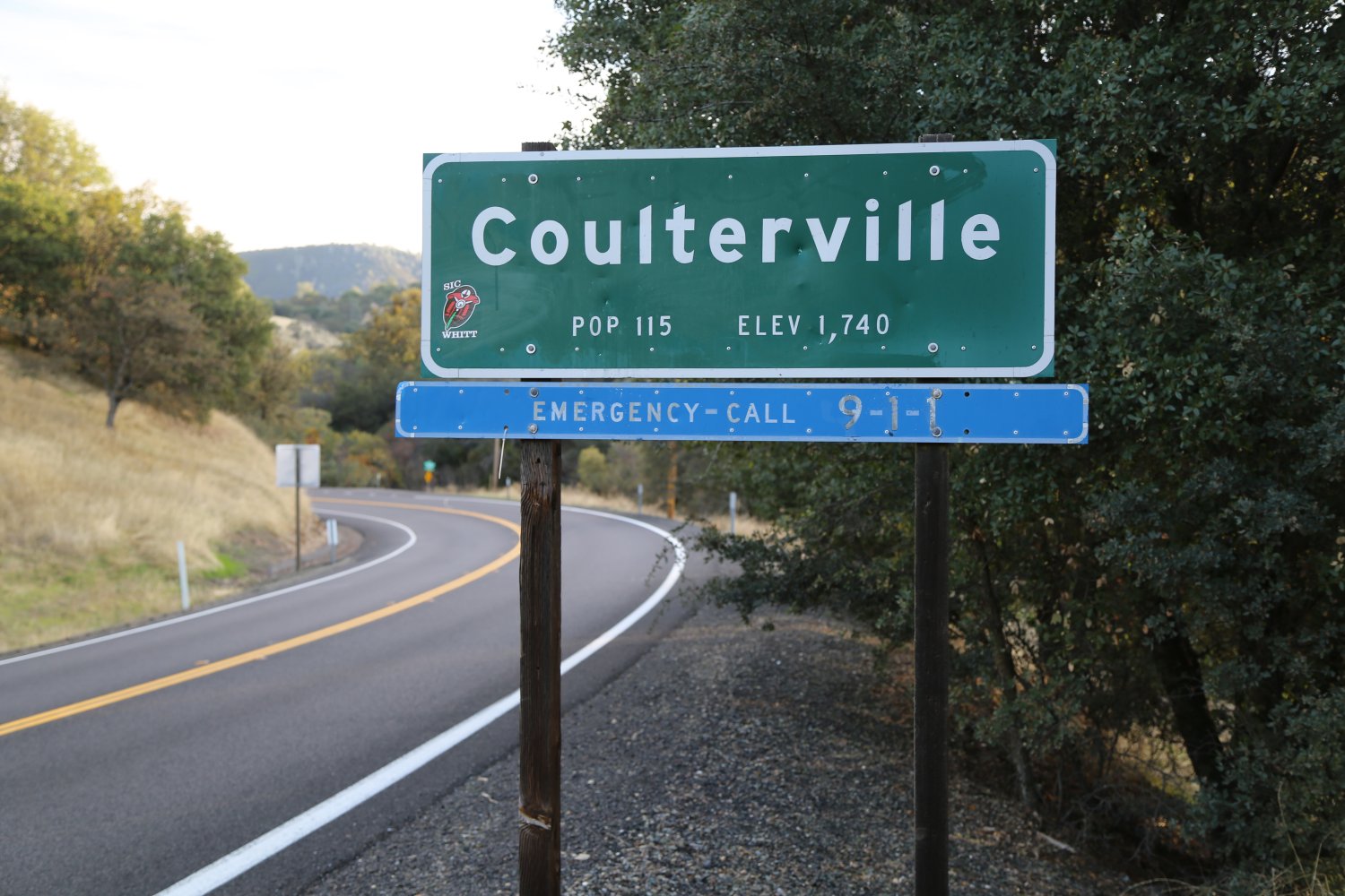
Coulterville is located at the junction of Highways 132 and 49. This old mining town used to be a booming community along the first stage coach road into Yosemite Valley. Now with approximately 115 people it is just barely reaping some of the benefits of the tourist boom that other historic mining towns have seen in more recent years. Coulterville is slightly removed from the main mining tourist town areas therefore not as many people drive through this town. You can access Yosemite National Park from Highways 132 or 49 but most people take Highway 120 which avoids Coulterville altogether.
Coulterville so far to date has been the only town that I have ever seen a black Christmas tree being used as a decoration. Most of the ornaments that were hung on the tree were of dark colors. I wonder if someone had a twisted sense of humor. Other interesting more recent Coulterville history is that one of the first casualties of the Gulf War was from this town. The Coulterville high school had a graduating class of 4 or 5 a number of years ago. This interested Dave Letterman so they appeared on his late night television show.
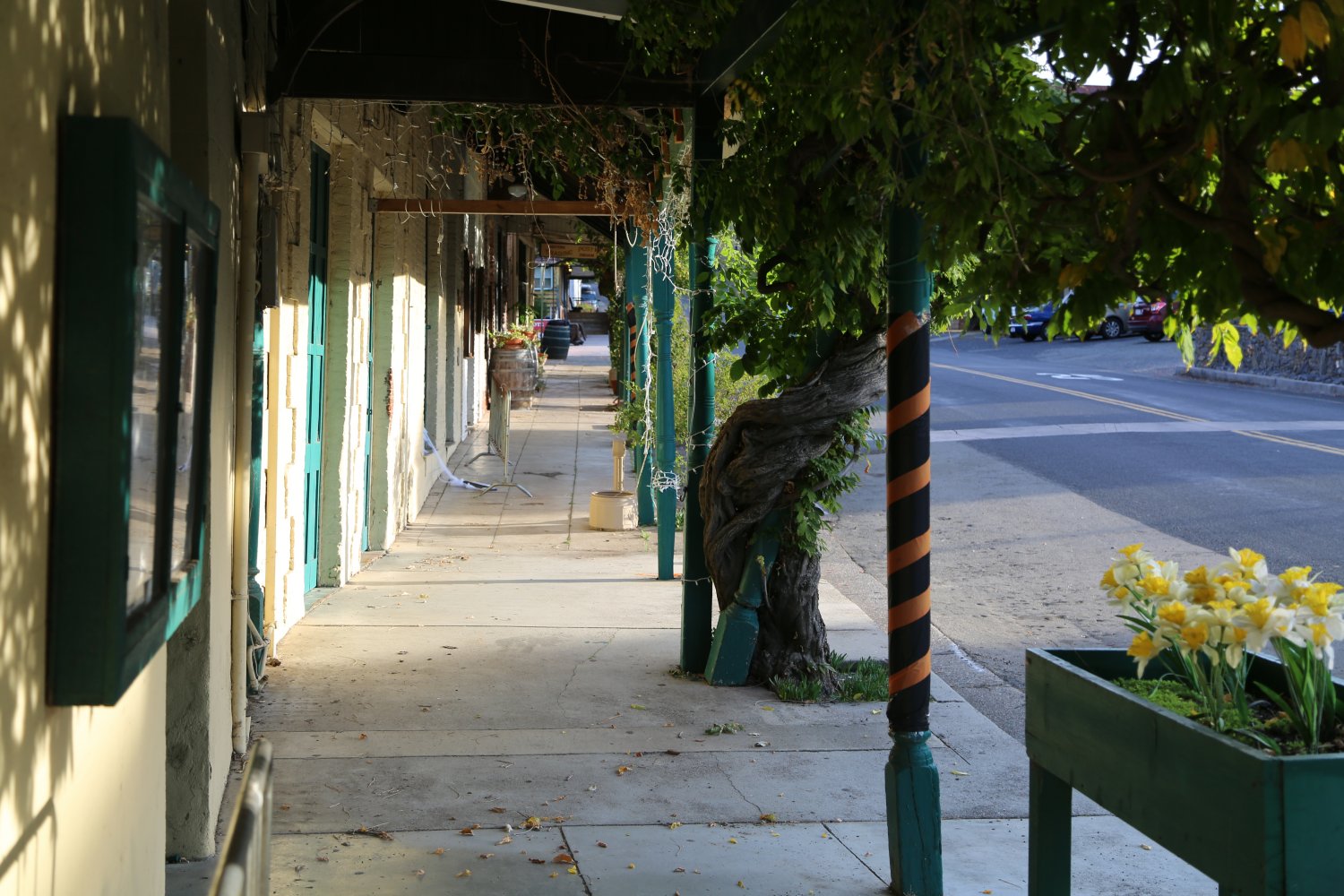
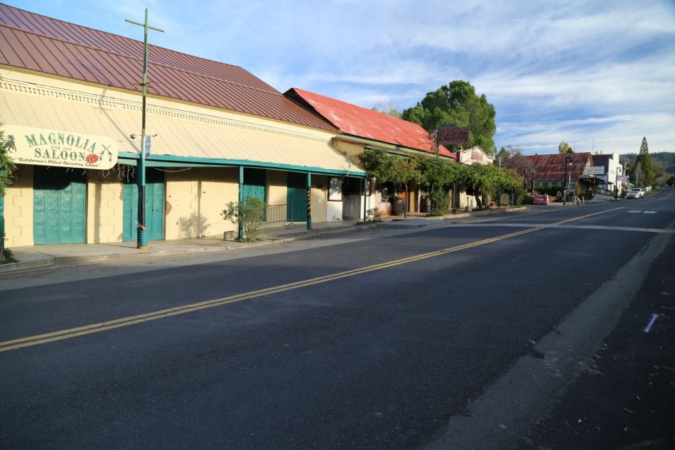
This town still retains some of its ruggedness. It has not been glossed over from an influx of tourists. There are some characters that live here to be sure. Some of the points of interest worth mentioning are the Coulterville Museum, otherwise known as the Northern Mariposa County History Center, located right next to the Highway junction. This museum is located upstairs in an old brick building. It displays much historical memorabilia, mostly memorabilia dealing directly with Coulterville’s history. If you visit this museum you will find out that Levi Strauss sold his first pair of jeans here. The museum was originally owned by George Coulter. He then sold it to a man who used to operate it as a drug store. At one point it was owned by Nelson Cody for quite some years. If the Nelson’s last name sounds familiar it is because he is the brother of Buffalo Bill Cody. This building was gutted by fires several times and then rebuilt. Some of its exhibits are a miniature doll house, a gold nugget collection, a stamp mill, and a Studebaker Wagon which was used in the movie High Noon starring Cary Grant.
A black locomotive is ‘parked’ in front of the museum. This is “Whistling Billy”, an old locomotive from the Mary Harrison Gold Mine. It used to carry ore from the old mine. During Christmas season Santa Claus has been known to sit in the back of this locomotive waving to passerbys. An informative wooden plaque standing next to “Billy” describes Coulterville’s history.
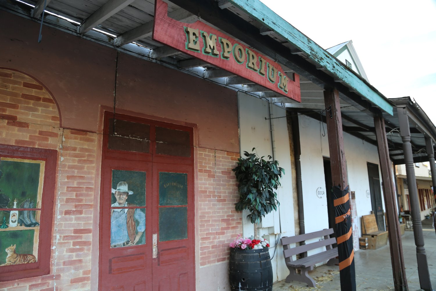
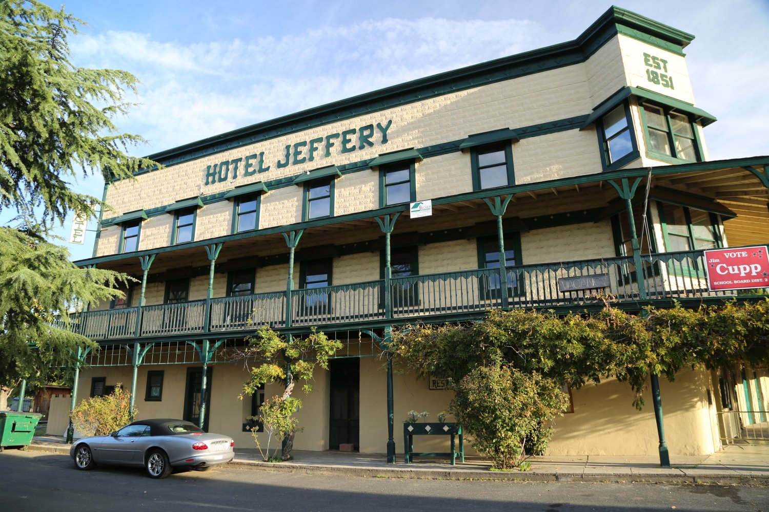
Coulterville has also put historical plaques on many of their buildings and these provide historical information. A small brochure is provided free of charge by several of the merchants. These can be used in conjunction with the plaques on the buildings. Both give detailed historical information about the town. It lists 47 different attractions, some historical, some recent, all located in Coulterville.
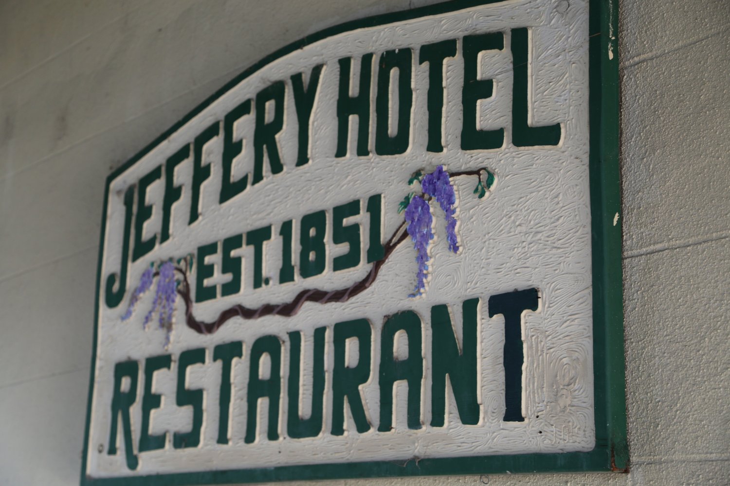
The oldest building in Coulterville is the Sun Sun Wo Co. adobe building located at the north end of town just off of Dog Town Road. This building was built in 1851 and was used as a general store until 1920. George and Margaret Coulter first came to the present day site of Coulterville in 1849. The original name of the town was “Little Flag” due to the fact that George Coulter flew his American flag over his mining tent. In 1853 the town was renamed Coulterville. This town suffered 3 devastating fires throughout its history. Once a bank was robbed of most of its gold coins in town. This happened during the winter and in the ensuing chase the robbers began to slowly lose the gold coins in the muddy streets in their frantic effort to escape being caught. Locals still tell of occasionally finding gold coins around their homes. Immediately after the coins were lost many of the locals could be seen in the streets digging for the coins. We have metal detected parts of Coulterville but never found any. However, I have talked to several people who have found some when they were digging in the soil while gardening.
The vegetation around Coulterville is mostly digger pine and chaparral with none of the perhaps more visually appealing pines that grow at higher elevations around the towns of Twain Harte and Pinecrest. During the spring months one will often see people trying their luck gold panning in Maxwell Creek. This creek flows almost through downtown Coulterville. One other note is that there is a great gold mining shop on Main Street. The prices tend to be expensive but they usually have a nice selection of central Sierra gold specimens.
Driving south of Coulterville on Highway 49 one will soon come to a turnoff on the right side of the road – about 4 miles south of town. It leads to the remains of what was an old mining town called Penon Blanco. Early Spanish settlers who first saw this area noticed the large white stone outcroppings of quartz that laced their way through this country side. Penon Blanco means white cliffs or white walls. This side road also leads to a plaque commemorating the Mary Harrison Gold Mine.
If you continue driving south on Highway 49 you will soon see the protection of the trees and hills next to the road fall away. The road quickly becomes exceedingly windy with steep cliffs nearby. This continues like this for about 15 miles until you drop down into the Merced River Canyon. The Merced River is the same river that runs through Yosemite Valley. Only here, it is part of Lake McClure depending on the season. In the winter the lake’s water level is usually lower and the Merced is a running river. However, in the summer months the lake level is usually a bit higher and the Merced river canyon is part of the lake. During the drought years of the late 1980’s and early 1990’s this portion of the lake was constantly a river, and during the summer months, almost dried up.
When you drop down into the canyon you will cross a long bridge. This is just about the only straight section of this part of Highway 49 between Coulterville and Mariposa. Appreciate this long straight bridge because as soon as you are on the other side the road once again begins its precipitous climb toward the town of Mariposa. Directly on the other side of the bridge is dirt side road leading to the left. This is the road that leads into Bagby State Recreation Area. During the drought years this was a haven for gold dredgers (unfortunately gold dredging in California is currently banned). Many gold nuggets were taken out of here during the drought years. It was a great place to also fish and swim. Depending on the snow pack and rainfall the water levels tend to fluctuate along this section of the river; some year’s boating is the main form of recreation, some years the river is way down.
The old mining town of Bagby is situated under water on the northern bank of the lake/river. During the drought years there were many stories of people digging around the old foundations and finding gold coins, old glass bottles, ceramics, and other neat historical items of interest. We tried our luck with a metal detector but never found much due to all the silt that had filled in the town site.
Leave a Reply