There are a number of commercial hot springs in Colorado ranging widely in setting and price. Some are rustic, and others are more like hot swimming pools; some are full of boisterous children, others are quieter, some are within an easy drive of major towns, and others take some more time to get to. Conundrum Hot Springs requires a 9 miles hike and more than 2000 feet of elevation gain to reach, and still manages to be incredibly popular and crowded, particularly on holidays and weekends. This is no doubt due to the astonishing beauty of the Maroon Bells Wilderness and the promise of hot springs. However, due to the crowds and the unique nature of the area, there are several wise things to be considered if you plan on making the trip.
Preparation
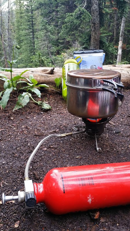
If you intend to hike the trail all the way to the hot springs, be prepared to spend the night. At 9 miles in, they are far enough away to necessitate this. You’ll need all of the proper equipment for backpacking – shelter, sleeping bag and pad, pack, trekking pols, poo trowel, food in a bear proof container, warm clothes, sunblock, camp stove and fuel, cookware, water bottles, a water purification method of your choice, and the free wag bags you’ll likely need for human waste disposal. Currently those are available for free at the trail head and it’s essential that you grab some. Depending which of the numbered camp sites you choose, you may find yourself in a position where either you are too close to water to dig a proper cathole or the ground is too rocky to allow for it.
Enough people who frequent Conundrum are careless enough about waste, that you absolutely want to purify your water. There are commercial water filters available or you can use an iodine or chlorine based method or boil your water. If you choose the later, do your research and boil it long enough – the hot springs are at more than 11,000 k feet above sea level, which dictates a longer boiling time.
Finally, as a part of your preparation, you absolutely should familiarize yourself with symptoms of altitude sickness and mentally prepare yourself to turn around if anyone in your party exhibits them. Altitude sickness can be serious and can kill – it should always be taken seriously.
The Trail
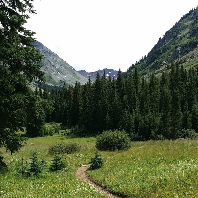
Conundrum Creek Trail follows Conundrum Creek, crossing back and forth over it several times via narrow “bridges” of railroad ties and once across the creek in an area without a bridge where a ford is required. The trail is long, windy, and undulating. It’s also arduous, particularly if you aren’t used to the altitude. Those trekking poles you packed will become your best friends as the trail steepens and are particularly useful during the creek ford, an area where you can expect to get you feet wet. If this concerns you, you may want to add waterproof sandles you packing list.
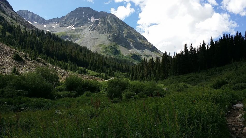
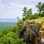
The scenery along the trail is shockingly beautiful, lined with softly scented pines and aspens and with the mountains rising around you and in the distance. The trail is mostly forested, though sometimes takes you through meadows. It’s often rocky, especially once you get toward the end. If it’s the first time you’ve done the trail, the distance can feel eternal, particularly if you haven’t spent a lot of time hiking or backpacking at altitude. Drink lots of water and have some snacks readily available to refuel.
The Hot Springs
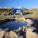
You’ll know that you are getting close to your destination when you start to see what appear to be casual campsites off to the left of the trail. You should continue on until you reach the actual official campsites to reduce impact on the area. Those official campsites are numbered, so they should be easy to find. The first sites you will see are in the forest, but if you continue past them, you will find some other sites in the alpine meadow closer to the springs.
Regardless of which site you choose, be sure to properly store your food in a bear proof container and hang it using correct technique. Bears do roam the area as do troublesome marmots who will enjoy chewing their way through your pack or tent to get to your food. For this reason, food should always be stored a little ways away from your campsite in its proper container.
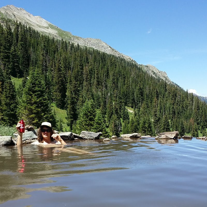
The springs themselves are not large – there is one major pool and several minor ones below it – and are situated just above tree line in a stunningly beautiful meadow. The size of the main pool is not an issue if you happen to be there on a quiet day, but with the increasing popularity of the springs, those days are becoming difficult to find. Don’t be surprised if you find yourself sharing the springs with a large number of people. Also, be aware that dogs are not allowed up here, so leave your puppers at home out of respect for the wildlife and your fellow backpackers.
Future Considerations
Due to the increasing popularity of this area and the subsequent high impact, there has been serious talk of instituting a fee and limiting the number of people at the hot springs at any given time. For this reason, it would be wise to consult the USFS website to check on the current regulatory status of the area before you plan your trip. This trip is absolutely worth your time, particularly if you plan ahead, pack properly, and respect the unique and fragile ecosystem in which the hot springs reside.



Hi Amber,
Thank you for sharing!!!! I am coming out to backpaack this on Sunday October 15th. I saw your post for Oct 10th . No snow ? I was thinking to bring crampons , snowshoes and yaklikes. How are the trails? Temp storms and rain effects?
Do I need 4 season heavier double wall winter tent or can we get away with my 2 # super mega light weight tent??
Please let me know your thoughts since you just posted this on the 10th. how technical as am flying in from cross country.
Thank you so very much.
I really appreciate your help .
Hi Janet,
The pictures that I have posted are from about 3 years ago during August, so they are not representative of the current conditions. I personally do not know how things are up there currently. I can, however, offer a comparison – the trailhead is at 8,700 feet above sea level and it ends at 11,200 feet. I live at 9,000 feet and we have had snow twice so far this year, and currently have some in our yard. I can see snow in the high country around the Continental Divide. If I were you, I would plan for snow. When I was there, it was cold at night, and it was August, so definitely pack warm and have a good sleeping bag. I would be particularly wary of the part of the trail where you need to ford the creek as it’s possible to get pretty wet there. I don’t know how high the creek is right now, but use trekking poles and try to stay dry. You definitely don’t want to saturate your hiking boots.
As far as tent type goes, that’s a little harder. What elevation are you coming from? The hike up to the hot springs is fairly arduous if you are carrying a heavy pack and are unused to the elevation. Of course, it’s worth it to avoid a tent collapse. I’d be more inclined to carry the weight and bring the 4 season, even though I think it’s likely to be overkill. If you could borrow a 3 season, that would probably be best, but I understand how hard that can be. Are Yaklikes a sort of microspike? I would bring those at a minimum. The snowshoes could be nice, but now you are back to considering the weight you are carrying.
One thing you can do is to check the 14ers.com website. There is a thread for current Conundrum Hot Springs conditions on there. It’s not current, but you can ask the question and someone might know. Conundrum Creek Trail is also used to access Conundrum and Castle peaks, hence it’s relevance on that page. That could help you make a decision about your tent and snowshoes.
One final thing – the drainage that the trail runs through can be avalanche prone. I don’t think it’s late enough in the season to worry about, but it can be legitimately dangerous under certain conditions. Just keep that in mind.
Good luck and have fun! I’m thinking you’ll have less issues with crowds going this time of the year. Sorry I don’t know more about the current conditions.